Overview
LSDTopoTools is a collection of software tools for analysing topography. It also contains tools for cosmogenic nuclide analyses, landscape evolution, and hydrology.
I just want to get it!
- LSDTopoTools is available through conda. If you have conda installed, just run
conda install -c conda-forge lsdtopotools
Some things LSDTopoTools can do
- Basic topographic analysis, e.g., slopes, channel networks, basic raster calculations etc.
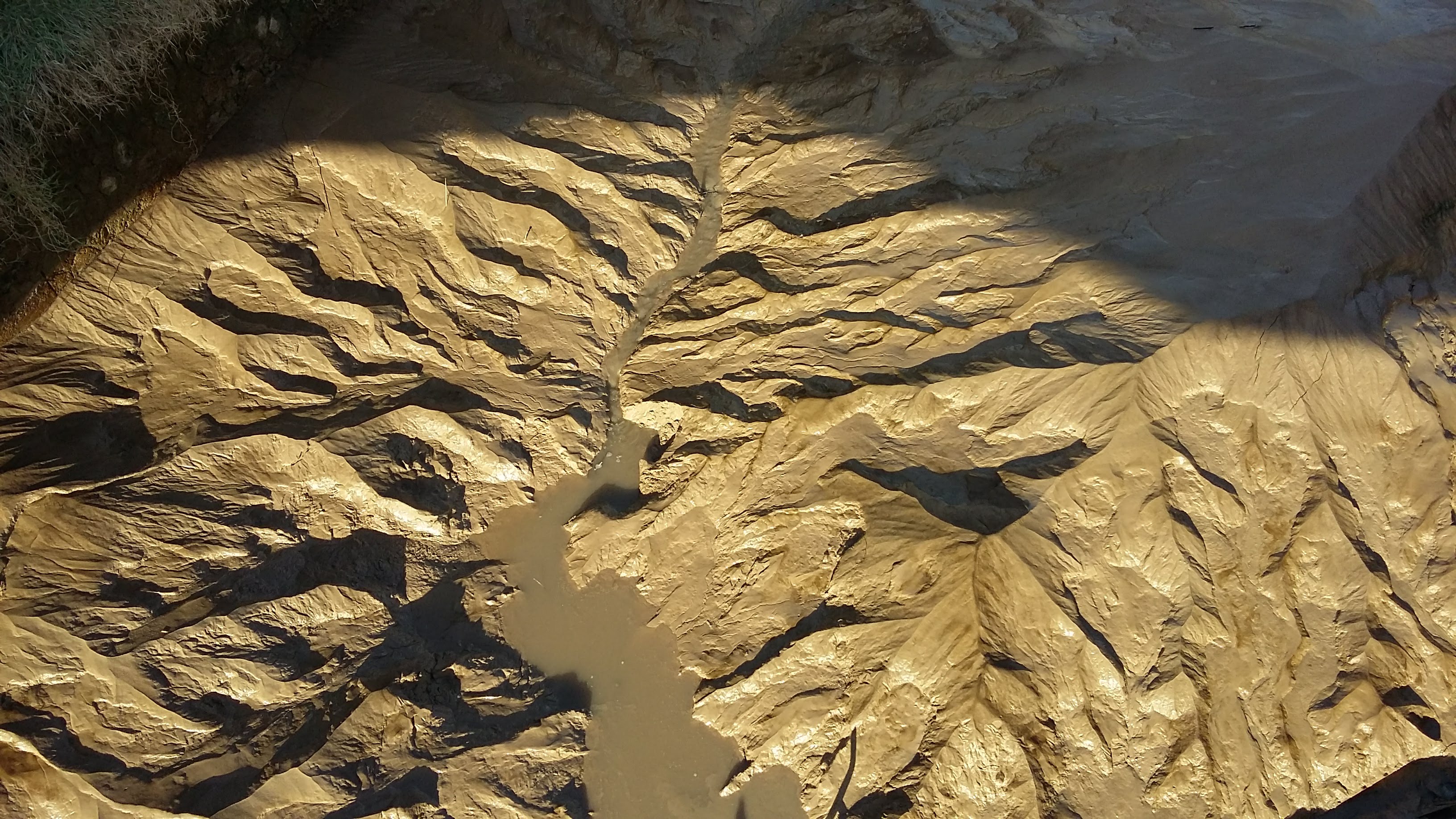
- Algorithmic extraction of drainage networks, using a wide range of algorithms. See Clubb et al., 2014 and Grieve et al., 2016a.
- Algorithmic extraction of rock outcrops, see Milodowski et al., 2015
- Analysis of channel steepness for tectonic geomorphology applications. See Mudd et al., 2014. In addition tools for determining channel concavity. See Mudd et al., 2018
- Extraction and statistical analysis of knickpoints. See Gailleton et al., 2018.
- Extraction of drainage density see Clubb et al., 2016, floodplains, and terraces see Clubb et al., 2017.
- Tools for understanding the geometry of drainage basins. See Grieve et al., 2018
- A wide range of tools for exploring hillslope geometry and how it relates to transient incision. See Hurst et al., 2012; Hurst et al., 2013; Grieve et al, 2016b; Grieve et al, 2016c; Hurst et al., 2019.
- Tools for understanding the relationship between lithology and channel steepness. See Mudd et al., 2018; Bernard et al., 2019; Strong et al., 2019.
- Tools for calculating basinwide erosion rates from nuclides such as 10Be and 26Al. See Mudd et al., 2016; Codilean et al., 2018
- A simple landscape evolution model. See Mudd et al., 2017
Documentation
We have several hundred pages of documentation about LSDTopoTools. It can be found on our documentation website.
If you actually want to get inside the source code, our API also has documentation.
Citing LSDTopoTools
The most general citations for LSDTopoTools are:
- LSDTopoTools2: the main software: Mudd, S. M., Clubb, F. J., Grieve, S. W. D., Milodowski, D. T., Hurst, M. D., Gailleton, B., & Valters, D. A. (2019, June 13). LSDTopoTools2 (Version v0.02). Zenodo. http://doi.org/10.5281/zenodo.3245041
- LSDTopoTools documentation: Simon Marius Mudd, Boris Gailleton, Fiona Clubb, Stuart Grieve, & Declan Valters. (2019, June 13). LSDtopotools/LSDTT_documentation: LSDTopoTools2 v2.01 (Version v2.01). Zenodo. http://doi.org/10.5281/zenodo.3245076
- LSDMappingTools: Our python visualisation packages: Simon Marius Mudd, Boris Gailleton, Fiona Clubb, Stuart Grieve, & Declan Valters. (2019, June 13). LSDtopotools/LSDTT_documentation: LSDTopoTools2 v2.01 (Version v2.01). Zenodo. http://doi.org/10.5281/zenodo.3245076
We also maintain a zenodo collection for all the released software.
If you are using specific algorithms developed by our group and published in the scientific literature, please cite the relevant paper.